Discover the new joy of hiking!
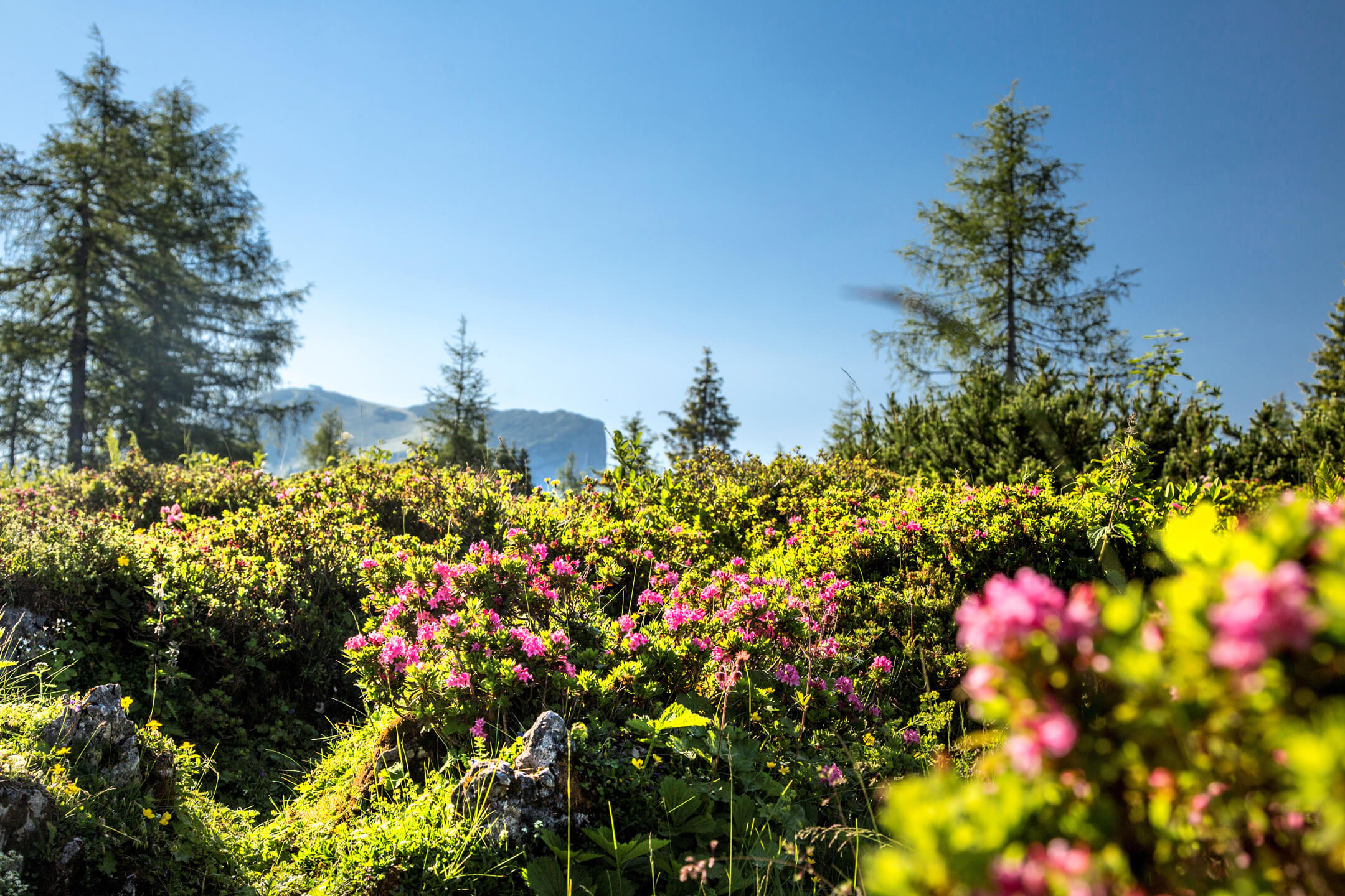
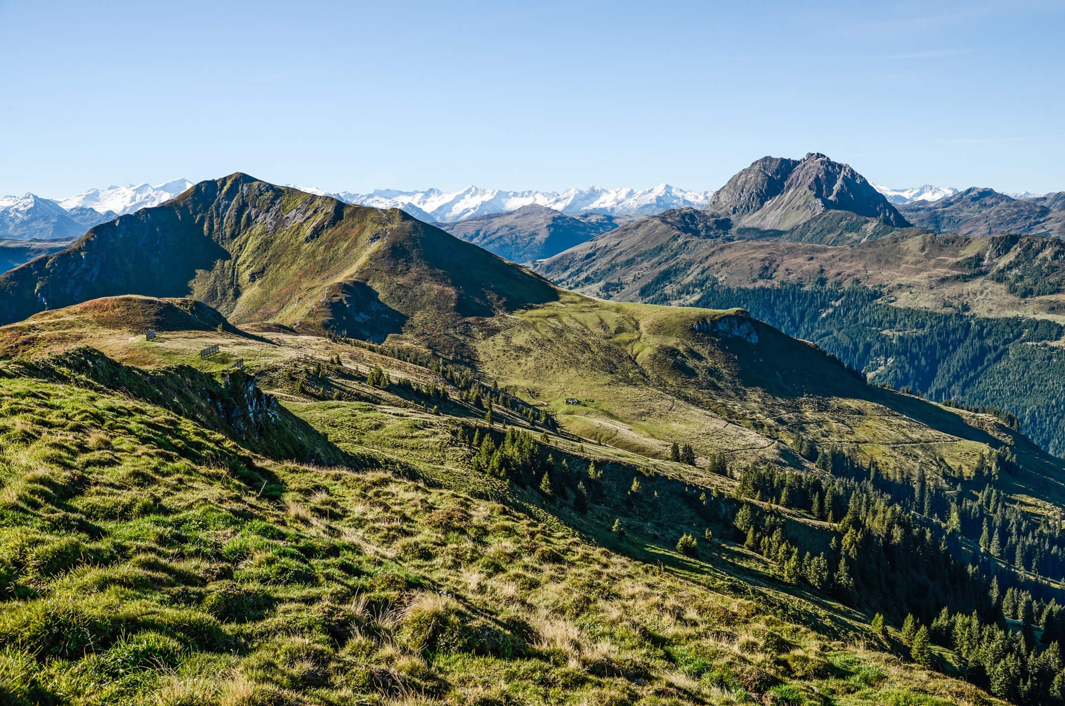
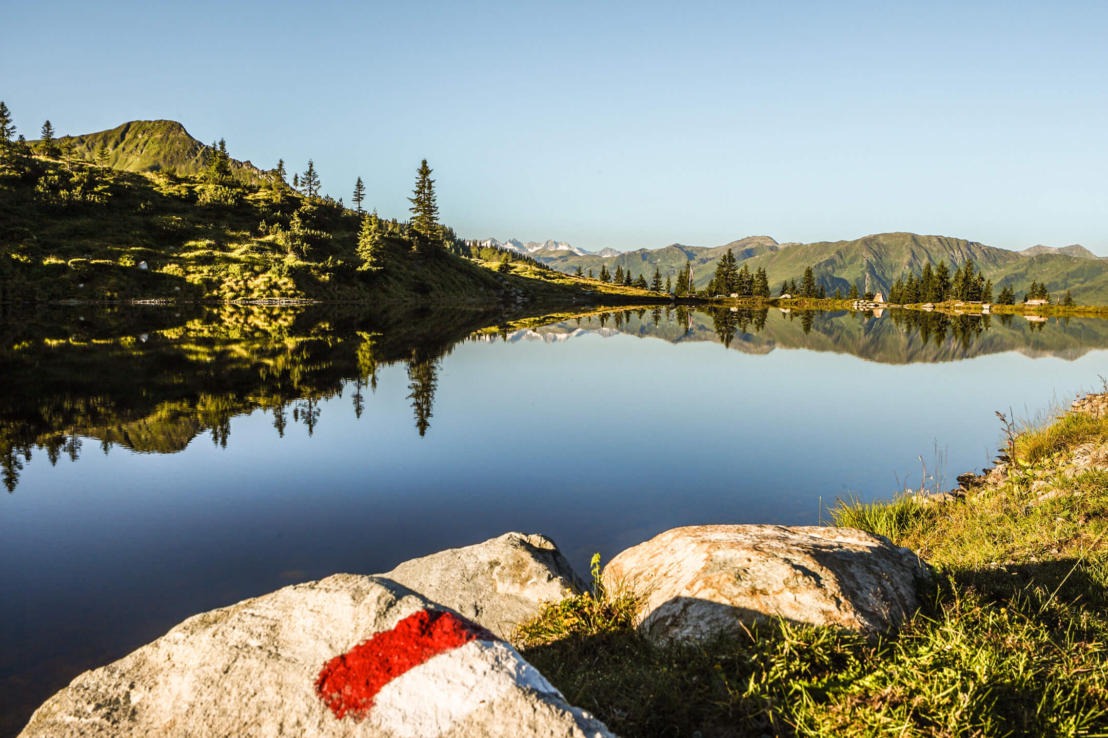
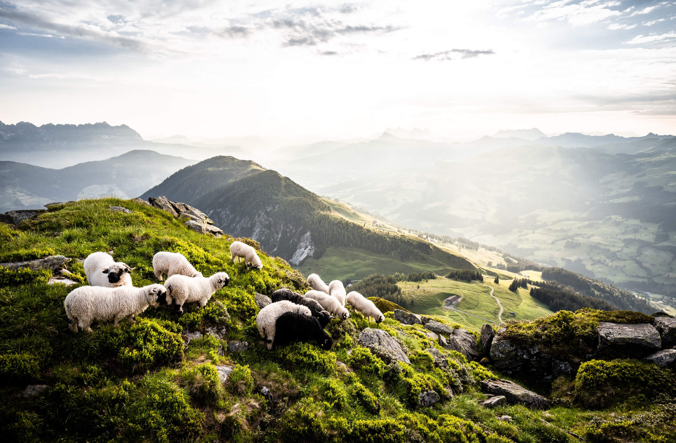
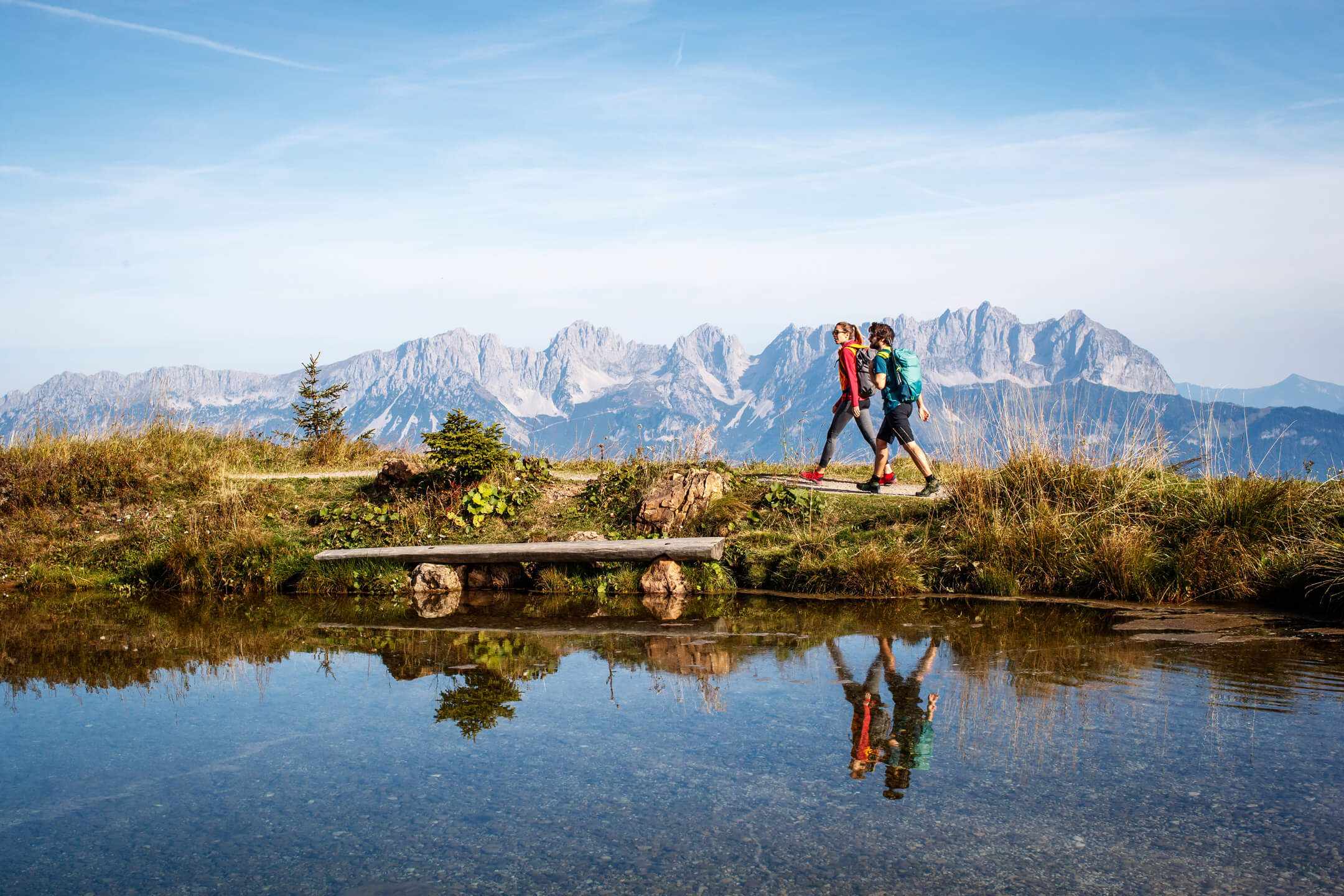
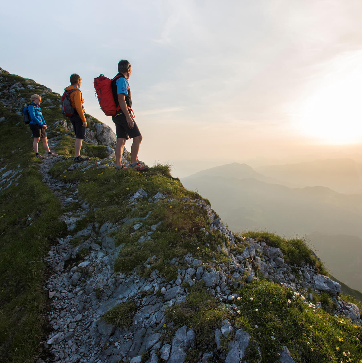
Experience the pleasure of hiking together with your family and friends on the diverse and varied regions of the Brixental Valley! The enchanting mountain landscape with its wide meadows, dense forests and picturesque alpine meadows offers hiking enthusiasts routes of varying degrees of difficulty, in and around the Brixental Valley.
Very easy circular hike
Walking time: approx. 50 minutes
Walking time Peterbrünnl and Spertendorf: 1 hour 20 minutes
From the tourist office, turn left along the main road – after the Pizzeria Daxer Krug turn left into Reithergasse – at the end of the alley turn left into through the pedestrian underpass – take the path left up and on the forest path through the forest to the Peterbrünnl – after the Peterbrünnl turn right through the forest onto the vineyard path – at the Weinberghof turn left along the stream back to the town centre. Alternative No. 9): At the Weinberghof turn right on the Wehrbachweg to the Sonnbergweg and left down to the district of Spertendorf – along the main road to the left – in front of the chapel turn right on the path towards the train station – after the train station on the main road back to the centre.
easy forest and meadow hike
Walking time: approx. 1.5 hours
From the centre of the village in the direction of the church and on to the bathing lake – left around the bathing lake – through the forest and across a meadow towards Wötzing – through the farm settlement to the road (Pension Küchl on the right) – right up the Brandseitgraben – past the junction to the Staudachstube snack station – right to the Gauxerbauer – past the house chapel – over the meadow path to the Untertann and Obertann farms – back to Kirchberg
Walking time: approx. 5 hours
Via Kirchangerweg past the Kirchanger chapel – Waldhof – steep ascent through the forest – Plattlhof – across beautiful meadows to the mountain station of the Gaisberg chairlift – keep left uphill to the Bärstättalm – behind the hut over alpine pastures to the summit cross – continue over the Gaisbergjoch – short, steep descent via the Nagillersteig – past the Harlassanger chapel (Maria Heimsuchung) to the Kobingerhütte – on a relatively flat path back to the Bärstättalm – Gaisberg chairlift – on the Past Gaisbergstüberl and downhill along the forest path/toboggan run to the Obergaisberg inn – downhill and past the Kirchanger chapel back to Kirchberg.
Walking time from the mountain station of the Gaisberg chairlift: approx. 4 1/2 hours
Descent from the Brechhornhaus: approx. 2 hours
To get to the Kobingerhütte, see hiking route 7 (Gaisberg chairlift mountain station, Bärstättalm, Kobingerhütte) – on a forest road past the Lichteneggalm – continue slightly uphill at the foot of the Gampenkogel – under the Ki gondola lift – West continue via Streitschlagalm to the Kreuzjöchlsee – Brechhornhaus – first slightly downhill, then steep ascent on a stony path to the Schledererkopf – steadily uphill past small high moors and mountain pine fields – to the summit cross of the Brechhorn over a narrow Ridge (be careful when wet!) – Way back over the Gaisberg or 10 minutes before the Brechhornhaus turn right in the direction of Brügglbach and on the forest path into the valley.
Walking time: approx. 3 1/2 hours
From the centre of the village to the underpass at Gasthof Kalswirt – on the vineyard path along the stream – turn right on a steeply ascending road towards Filzerhof – via Wieshof on a meadow path past the Fragenstättbauer (farm visit on Wednesday: registration at the tourist office!) – continue on the meadow path to Sonnbergstraße – Gasthof Filzerhof – on the forest path through forests towards the Rauher Kopf – the last section of the trail over roots and small raised moors to the summit – descent via Auer-Hochalm and Ruetzen back to Kirchberg.
Walking time from the valley: approx. 5 hours
From the Maierl -1 car park, past the Rohrermoos and Grillingbauer – through the forest to the Krin mountain tavern – continue on the road in the direction of Gasthof Maierl – over forest and alpine paths to the Ochsalm (ascent to the Ochsalm is also possible via the road from Schirast up) – at the valley station of the Maierl-3 lift over the Alte Kaser and turn right to the Hochbrunn inn – along the Eagle Walk to the Jufenkamm and the Jufenalm – easy hike along the ridge to the Pengelstein – possibility of descent via the Hiesleggalm.
Walking time to Ehrenbachhöhe: approx. 5 hours
From the Fleckalmbahn valley station, turn right past the Brandseitstube and the Schochenhof – on the road in the Brandseitgraben steadily uphill to the Niedere Fleckalm (Untere Fleckalm) – along the forest path to the Obere Fleckalm – in large hairpin bends ascent to the Bernhard chapel – past the Ehrenbachhöhensee to the Ehrenbachhöhe – possibility to continue hiking (e.g. Hahnenkamm, Hochbrunn, Pengelstein,…) – downhill either on foot or with the Fleckalmbahn.
Walking time for the entire high-altitude trail: approx. 6 hours
From Aschau/Kneipp facility, turn left into the Obere Grund – after the barrier on the slightly ascending forest road past the Grundalm – at the junction to the Hierzeggalm/Spießnägel continue straight ahead – Klooalm – straight ahead into the alpine pasture area – after the bridge turn left to the Ragstattalm – through alpine pastures and wooded areas moderate ascent to the Seewaldalm (possibility of a direct, steeper descent to Aschau) – continue to the Kruna and Hiesleggalm – on an alpine path gently downhill to the Gasthof Schroll, Pengelstein 1 valley station and Gasthof Schirast.
Walking time to the Labalm: approx. 3 hours
From Aschau/Kneipp facility, turn right into the Unterer Grund – after the toll barrier on the forest road along the stream – right past the waterfall and left past the Falkenstein rock – Hintenbachalm – slightly ascending straight ahead – past the Labalm junction into the valley towards Karalm – after the barrier at the bridge turn right up to Stockeralm and Angereralm – right in serpentines down the alpine path to the Labalm – return at the Labalm the forest path downhill and via Hintenbachalm again back to Aschau.
Walking time Aschau – Schwarzkogel summit: approx. 3 1/2 hours
From Aschau behind the Gredwirt steep ascent on the Eagle Walk through the forest – before the Seewaldalm crossing the Aschauer Höhenweg – ascent via Kleinmoos-Niederalm and the dilapidated Obere Kleinmoosalm to the Schwarzkogelscharte – summit ascent to the Schwarzkogel – descent for experienced, sure-footed hikers with a head for heights: over the summit in the direction of Kleiner Rettenstein – over a narrow ridge towards Kesselboden, then right to the Stadlbergalm – steep descent into the Obere Grund to the Kloo-Niederalm and back to Aschau. Descent alternative: via Pengelstein, Jufenalm, Hochbrunn, Kaser, Ochsalm and Maierl to Kirchberg or further to the Ehrenbachhöhe and with the Fleckalmbahn into the valley.
Walking time Aschau – Spießnägel: approx. 3 hours
From Aschau/Kneipp facility, turn left into the Obere Grund – after the barrier on the slightly ascending forest road past the Grundalm – turn right at the junction Hierzeggalm/Spießnägel – on a serpentine path through the forest to the Hierzeggalm – on the summit path through alpine flowers to the Spießnägeln – descent towards Rettensteinjoch – at the Hierzegglacke turn left on the Hierzeggweg back to the alpine pasture – stay on the Hierzeggweg and follow the forest path down to the Sonnwendalm – at the alpine pasture turn right on the Falkensteinweg directly down to the Unterer Grund and down the valley back to Aschau.
Walking time to the summit: approx. 4 1/2 hours
Walking time into the valley: approx. 3 1/2 hours
Alpine emergency number: 140
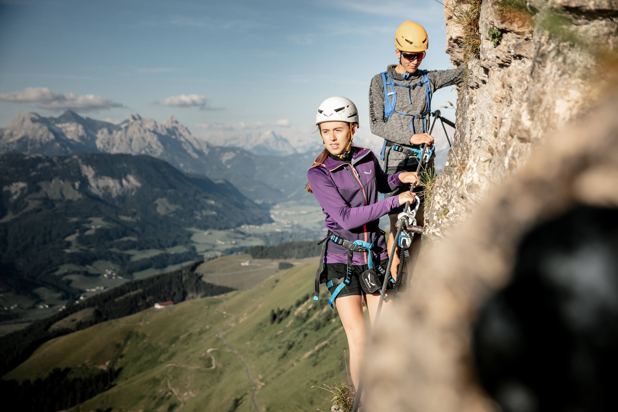
ONLY FOR SURE-FOOTED, EXPERIENCED MOUNTAINEERS and hikers with a head for heights! By car on the toll road into the Unterer Grund to the Hintenbachalm – either direct, steep ascent through the forest into the Schöntalgraben and along the Schöntalbach to the Schöntalalm or via the forest path to the Sonnwendalm and on to the Schöntalalm – over the Schöntalscherm up to the Schöntal spring (marmots!) – over steep serpentines uphill – arduous ascent over rocky terrain (attention: don’t kick any stones loose!) – short climb to the summit – descent as well as ascent.
Packages

Hiking paradise Kitzbühel Alps
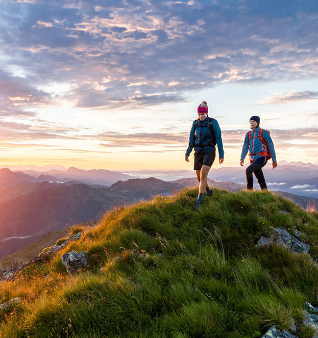
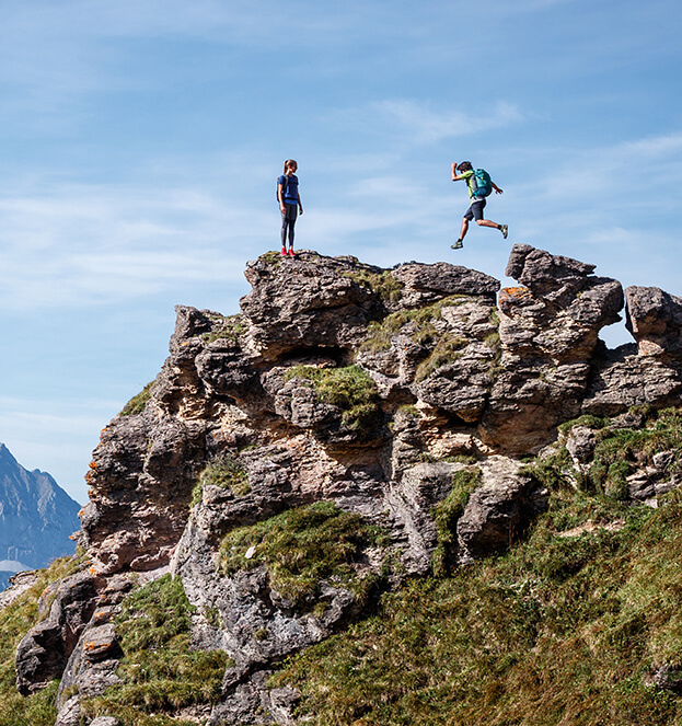
Enjoy an unforgettable hiking holiday in the Kitzbühel Alps with the Kitzbühel Alps Summer Card. Discover varied routes in the natural Brixental Valley for all hiking levels and experience the beauty of the Tyrolean mountain landscape.
DetailsHiking Happiness & Spa
Experience unforgettable hikes in Kitzbühel and then enjoy peace and relaxation in one of our double rooms at ALPEN GLÜCK Villa Lisa.
DetailsThe mountain is calling
Discover the incomparable mountain world of Kitzbühel, Kirchberg and Mittersill with the BIG 5 summer lifts from KitzSki. Conveniently, quickly and directly, they take the whole family to the most beautiful starting points for mountain and hiking tours.
DetailsLucky Catch
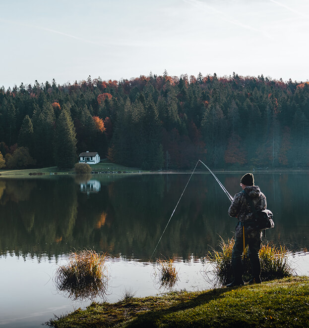
Immerse yourself in nature and experience the peace and fascination of fishing in the breathtaking Kitzbühel Alps along the clear waters of the Spertentaler Ache. Be enchanted by the beauty of the surroundings as you wait for your next catch.
Details